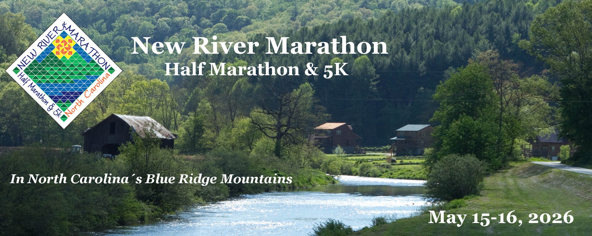
2026 Registration is Open!
Marathon: Saturday, May 16, 7:30am
Half Marathon: Sat., May 16, 8:15am
5K: Friday, May 15, 6:30pm
Miles along the flat, scenic New River:
Marathon (26.2 Total): 22.5 along the River
Half Marathon (13.1 Total): 9.5 along the River
5K (3.1 Total): 2.0 along the River
"Out of the more than 20 marathons I've done,
only Big Sur rivals the beauty of the New River course!"
A distance for everyone!
- Marathon -
- Half Marathon -
- 5K -
"The most beautiful race venue ever...
It even smells fantastic!"
Breathtaking Scenery!
New River - Christmas Tree Farms
Horse Farms - Blue Ridge Mountains